
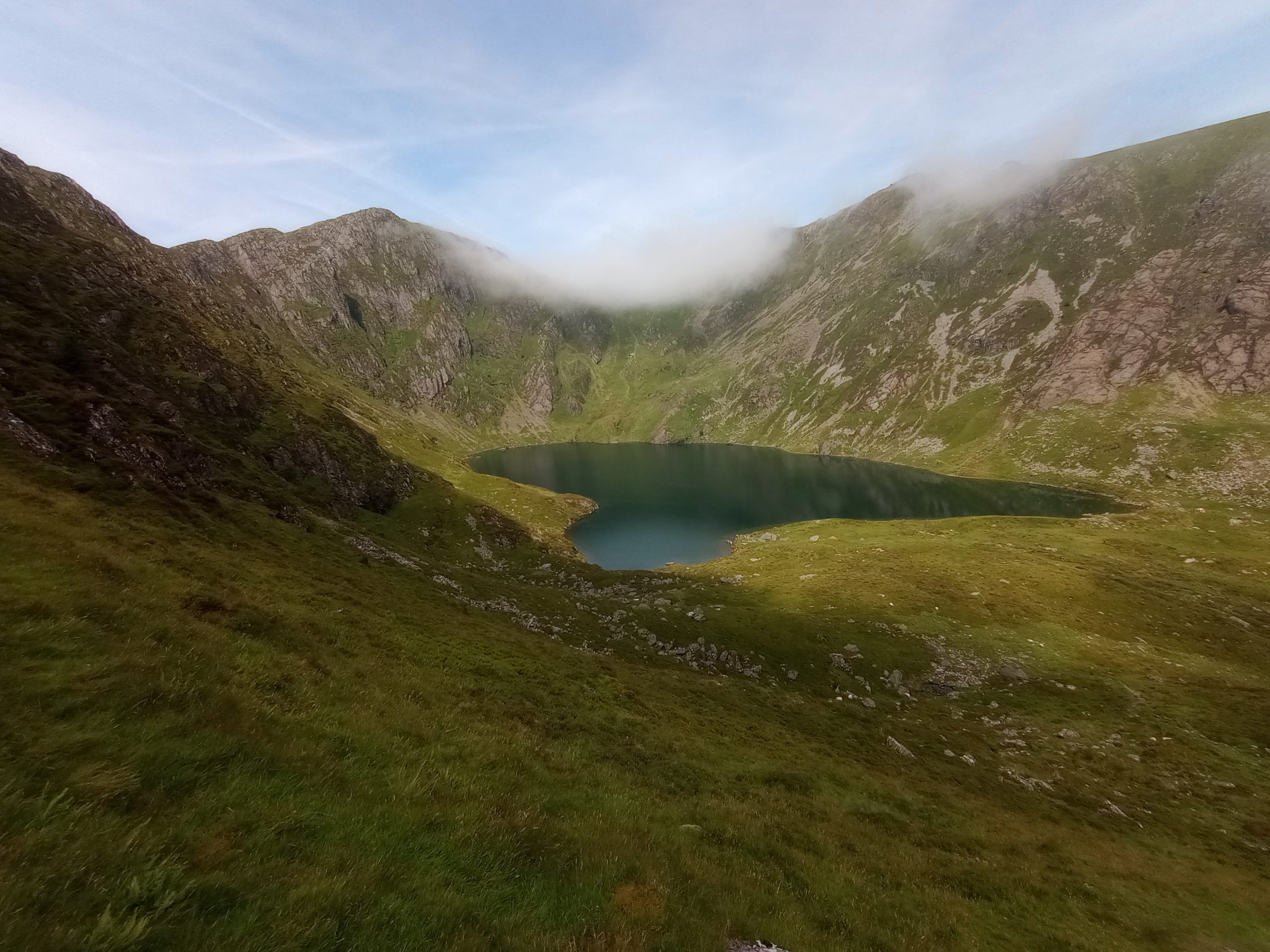
The forecast was for a cool and drizzly start to the day, clearing up by the afternoon, and as I looked at the mountains around the campsite – Arenig Fawr and Aran Benllyn – they looked invitingly cool, ahead of the next heatwave, so I gathered my things and drove 30 minutes to begin another ascent of Cadair Idris.
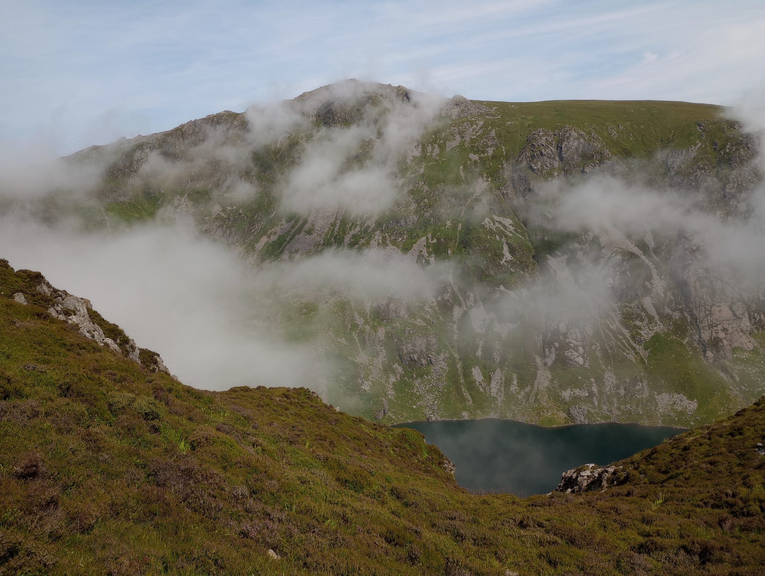
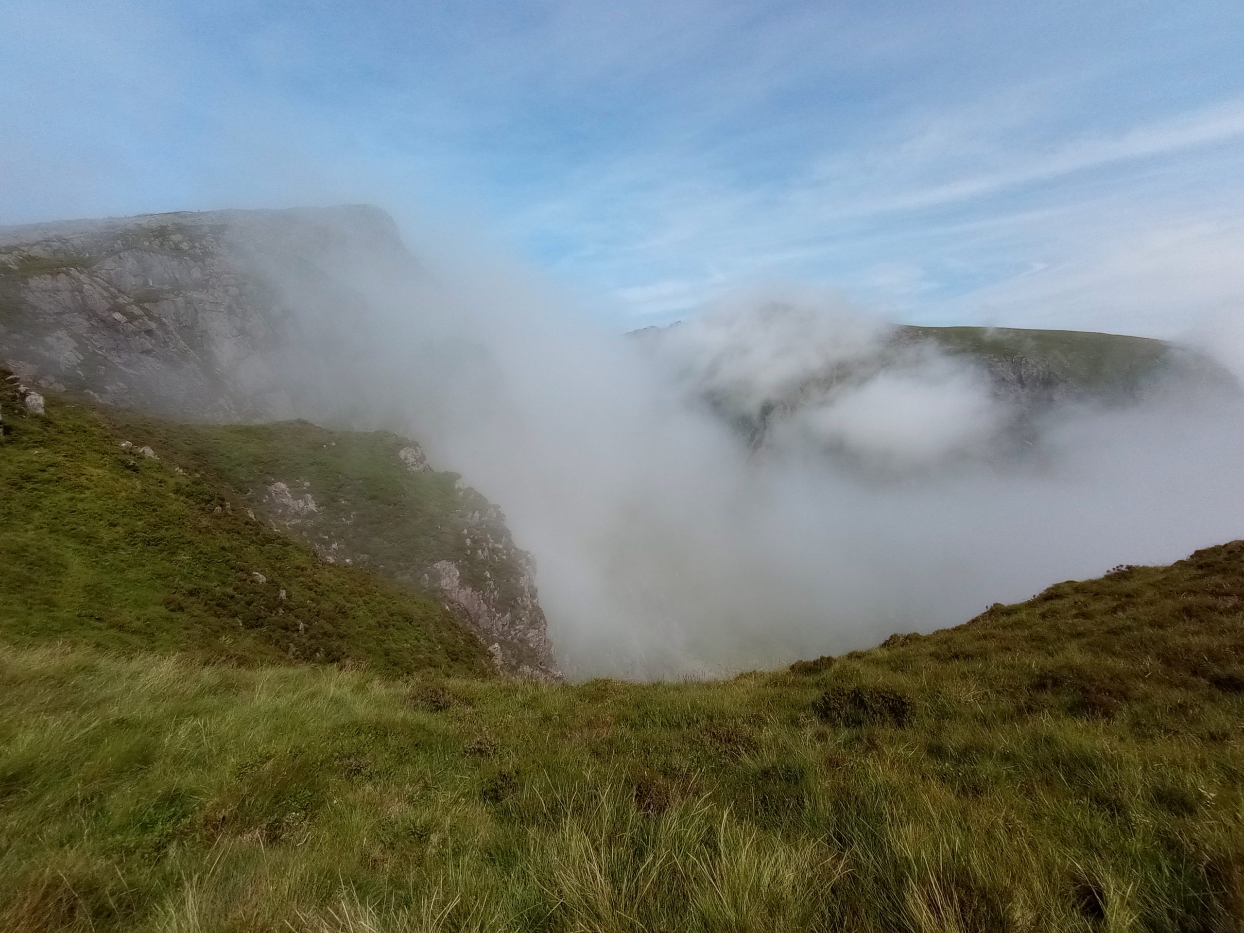
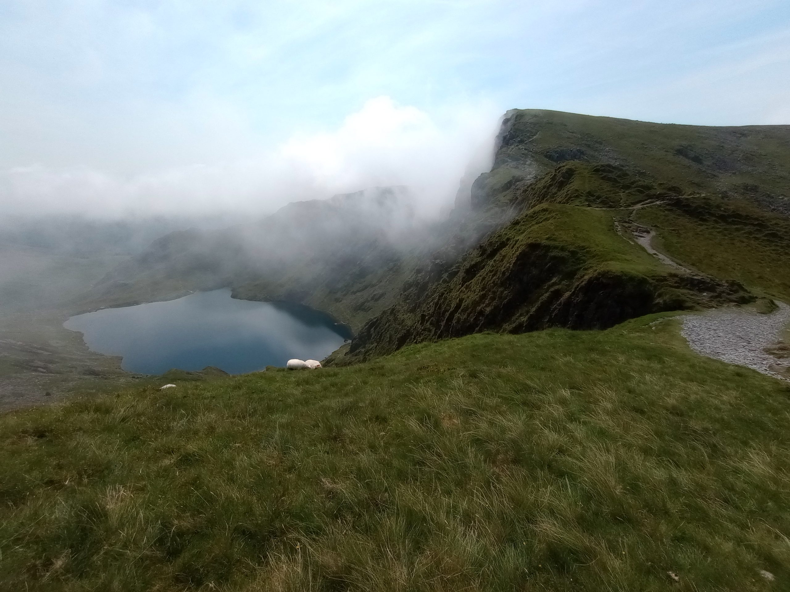
There was no drizzle, and the clouds kept the temperatures down as I climbed up through the wooded area at the start of the Minffordd path. By the time I’d reached the flank of Craig Cwm Amarch the cloud had mostly burned off, and in the still, thick air, it started to get warm and tough going.
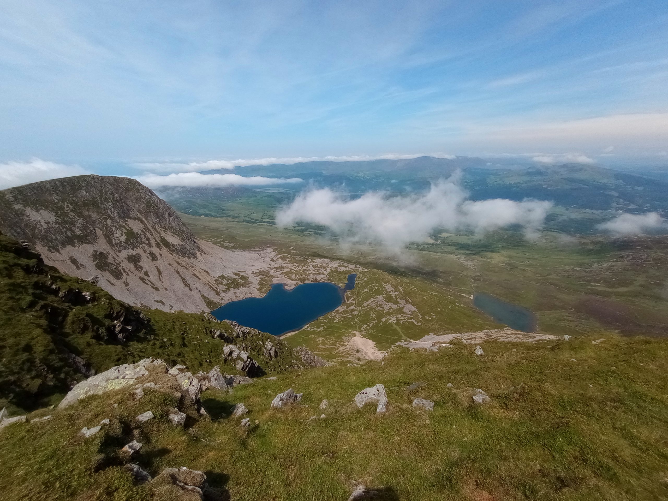
A welcome breeze helped to cool things down at the summit of Penygadair, and after a quick selfie at the trig point and a stop to admire the view, I continued on and headed back down. By now it was really heating up, and as my legs began to tire those steps through the wooded area that was now towards the end of the route became challenging, with a few little stumbles that made me grateful for my walking poles to add a little stability.
69_Cadair_Idris GPXNo elevation data
|